
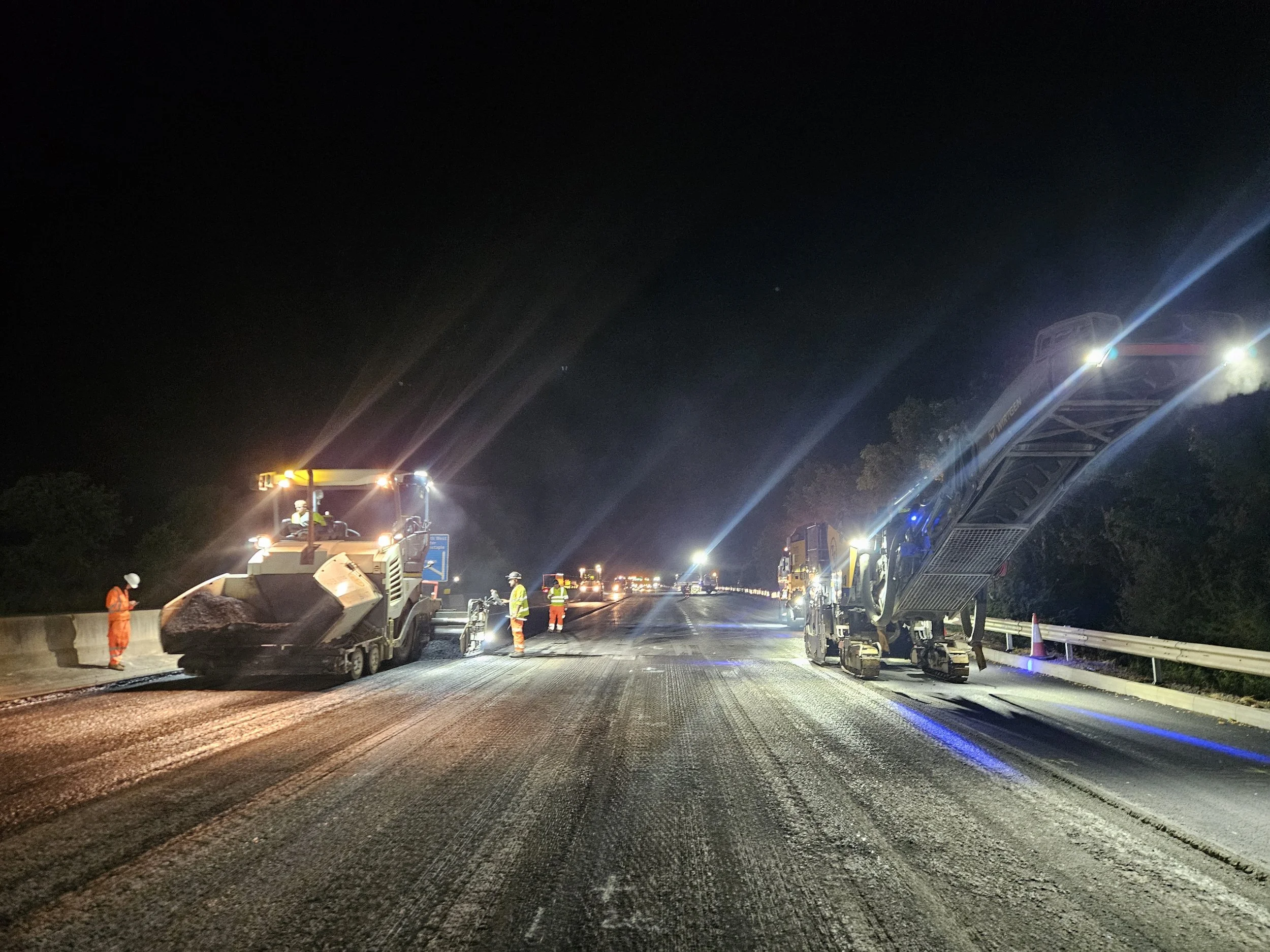
Specialist Site Engineering
We support contractors with complex engineering challenges, including survey control networks, earthworks volume calculations, and 3D modelling for complex road geometries such as helices, superelevation transitions and twisted alignments.
We don’t shy away from a challenge.
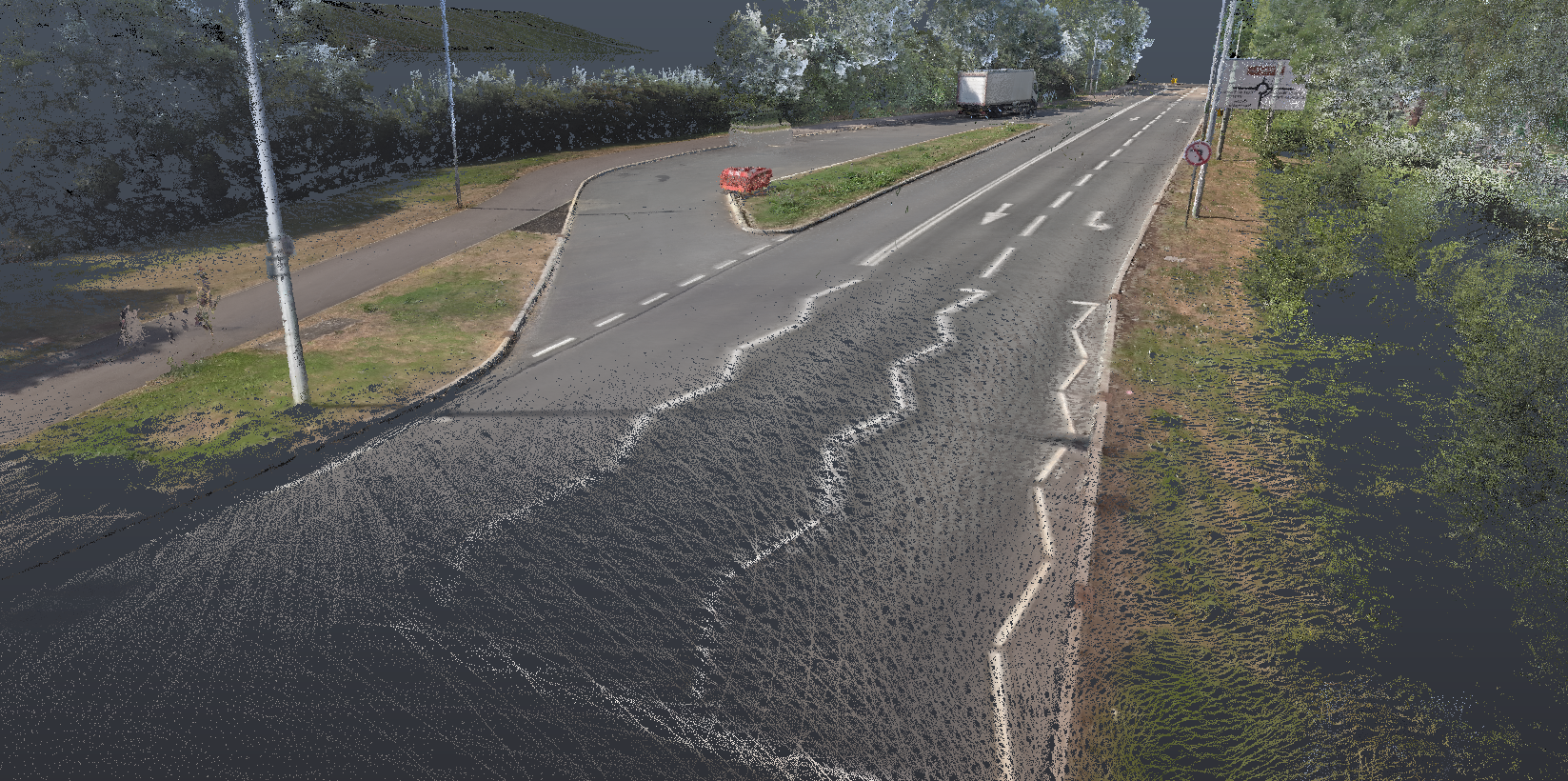
Rapid Highway Topographical Surveys
Need highway survey data fast?
Our innovative method utilises specialist GNSS 3D scanning which enables us to collect survey data of the live carriageway without any traffic management, and fully compliant with Chapter 8 regulations.
Whether it’s the verge embankment profiles, signage, VRS crash barriers, drainage positions or carriageway levels, we capture it all and can provide you with CAD linework and Point Clouds at short notice.
Lets innovate together
Services
Filters
No results found
No results match your search. Try removing a few filters.